
Zagreb in numbers · maps
Your neighbourhood as a poster
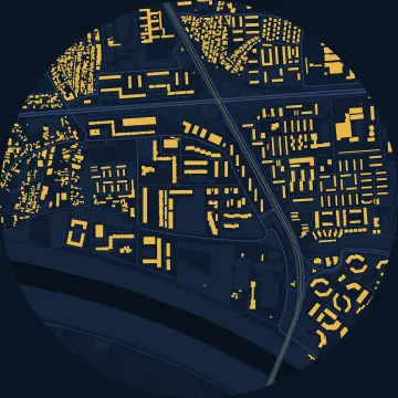
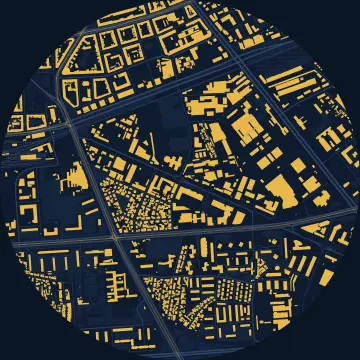
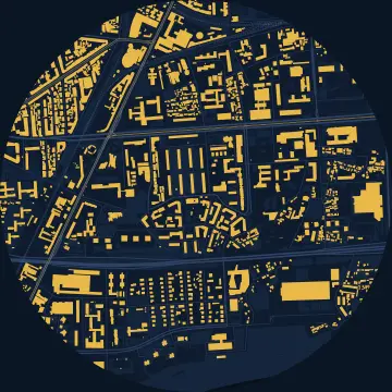
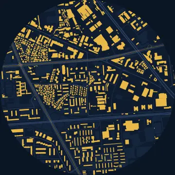
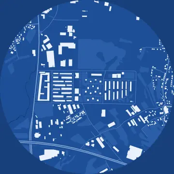
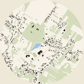
Every building, street, park and tram track within 900 metres of the centre of 82 Zagreb neighbourhoods, drawn like an architect's plan. Pick your neighbourhood and a style, then download the poster: for Facebook, for a story, or to print on A3.
Pick a neighbourhood
Lower Town district
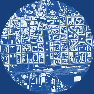 Lower Town
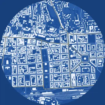 Zrinjevac
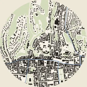 Upper Town
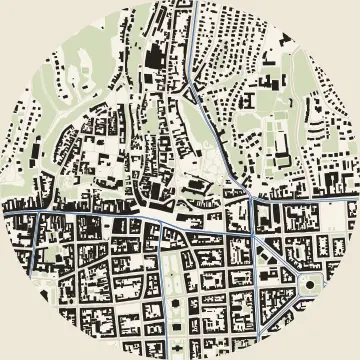 Kaptol
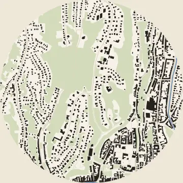 Tuškanac
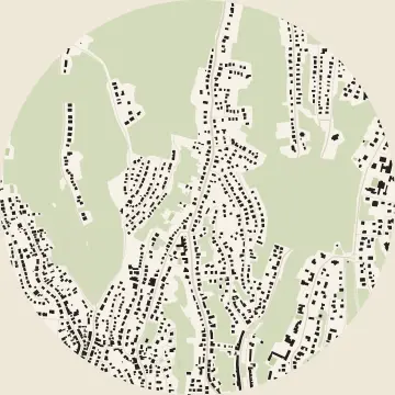 Pantovčak
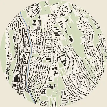 Šalata
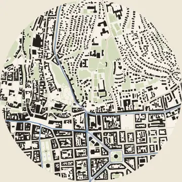 Ribnjak
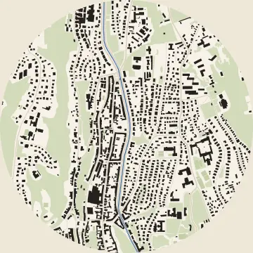 Medveščak
Trnje district
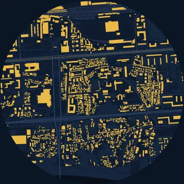 Trnje
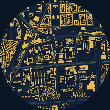 Martinovka
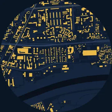 Cvjetno naselje
 Savica
 Kanal
 Vrbik
 Sigečica
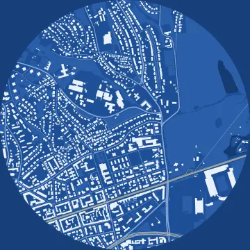 Maksimir
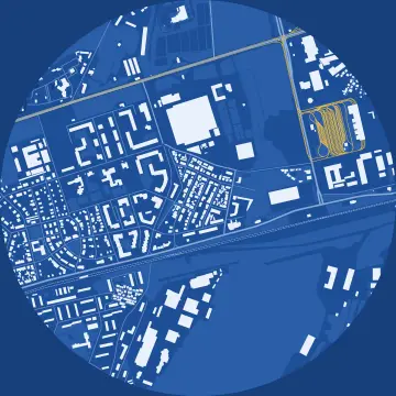 Ravnice
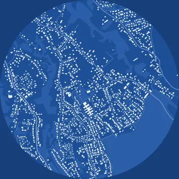 Bukovac
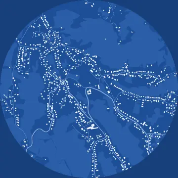 Remete
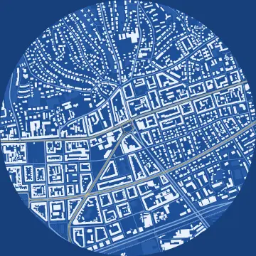 Kvatrić
Peščenica – Žitnjak district
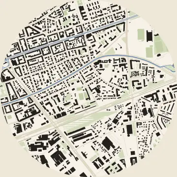 Peščenica
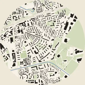 Volovčica
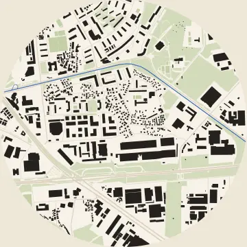 Ferenščica
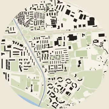 Folnegovićevo naselje
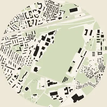 Borongaj
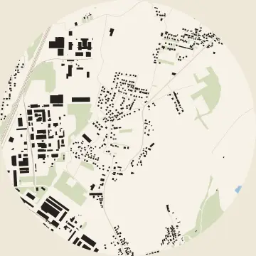 Žitnjak
New Zagreb – East district
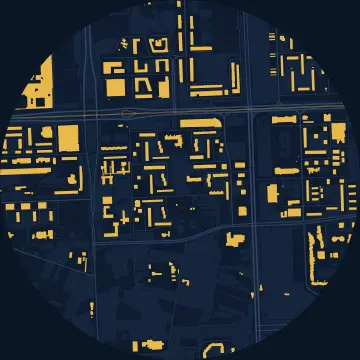 Sopot
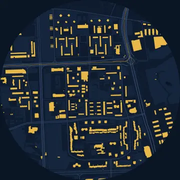 Utrine
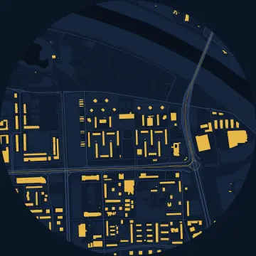 Zapruđe
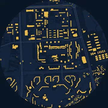 Travno
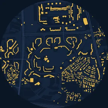 Dugave
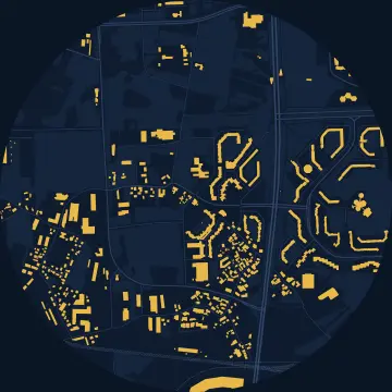 Sloboština
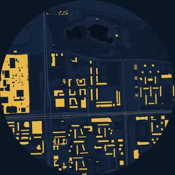 Središće
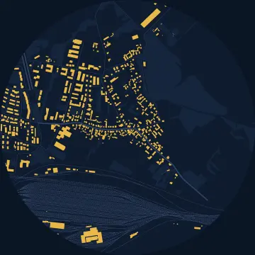 Jakuševec
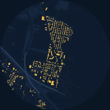 Veliko Polje
New Zagreb – West district
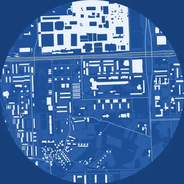 New Zagreb
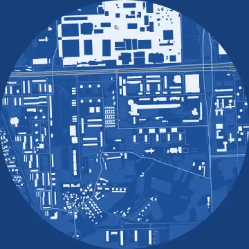 Siget
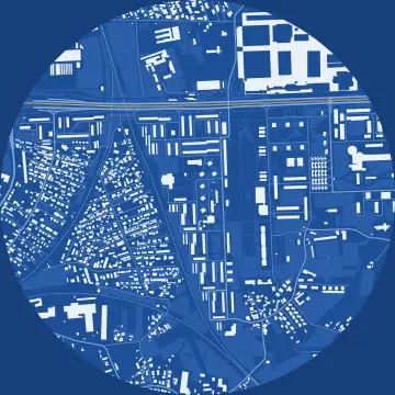 Trnsko
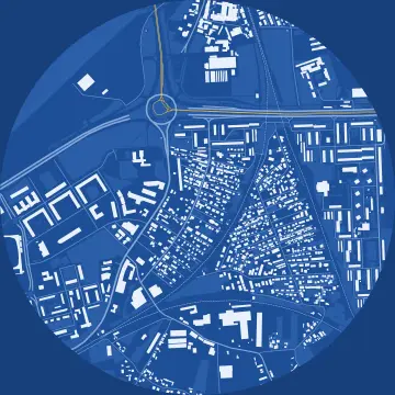 Savski gaj
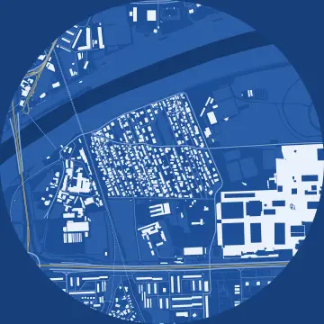 Kajzerica
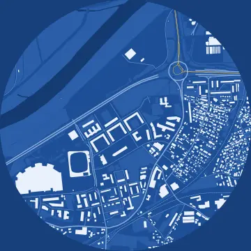 Lanište
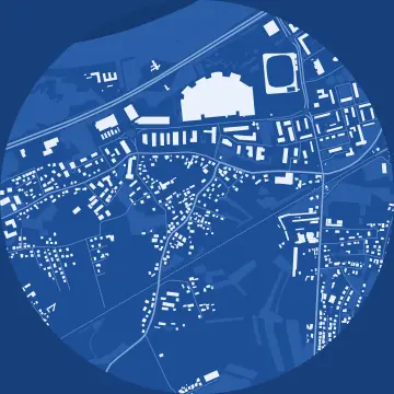 Remetinec
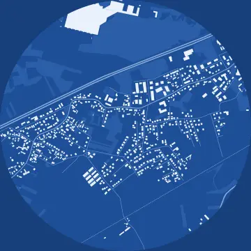 Blato
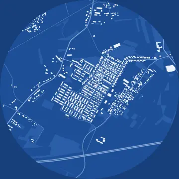 Botinec
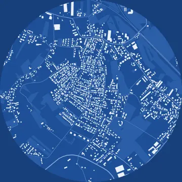 Sveta Klara
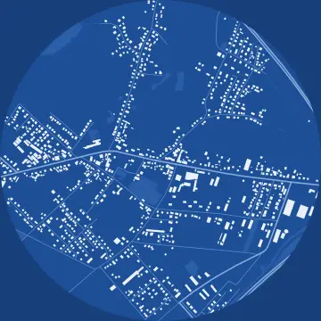 Lučko
Trešnjevka – North district
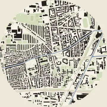 Trešnjevka
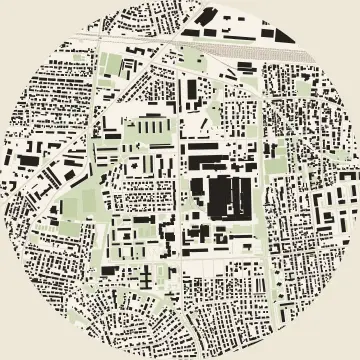 Voltino
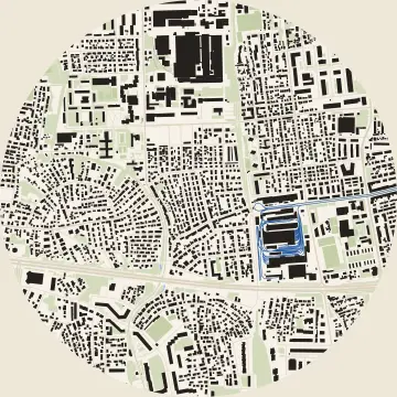 Ljubljanica
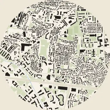 Rudeš
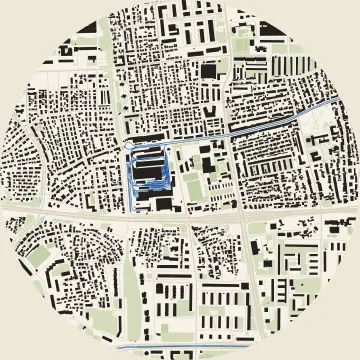 Remiza
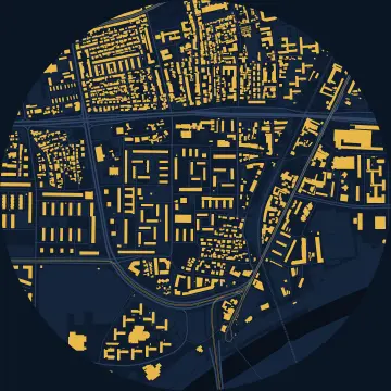 Knežija
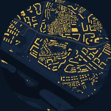 Jarun
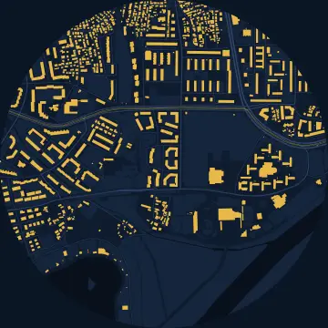 Gredice
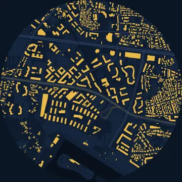 Vrbani
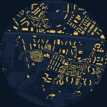 Prečko
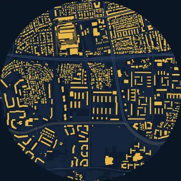 Srednjaci
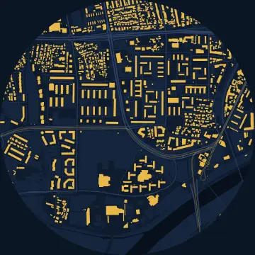 Horvati
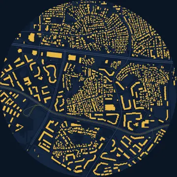 Staglišće
Črnomerec district
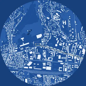 Črnomerec
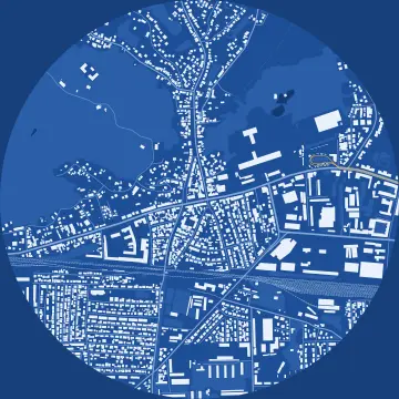 Kustošija
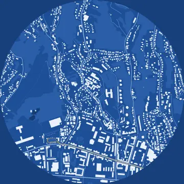 Sveti Duh
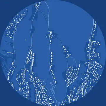 Jelenovac
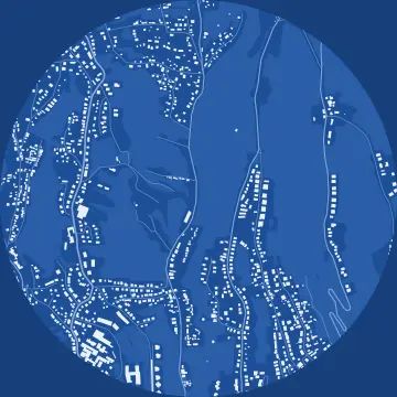 Šestinski dol
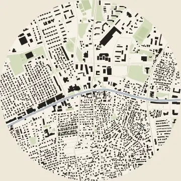 Dubrava
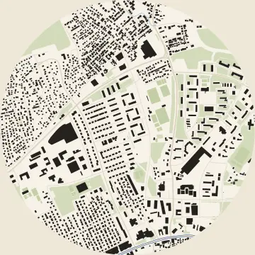 Klaka
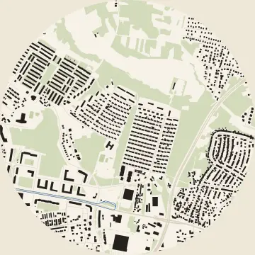 Dubec
Donja Dubrava district
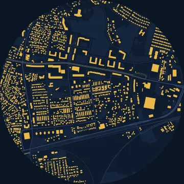 Retkovec
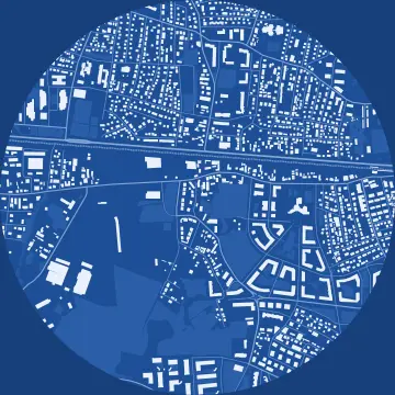 Stenjevec
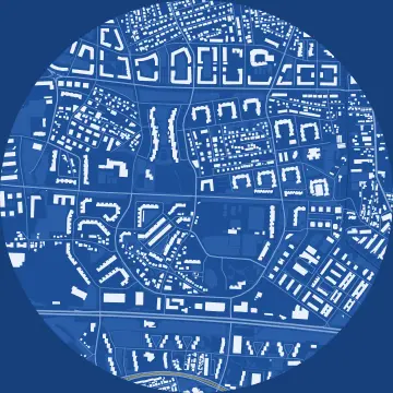 Špansko
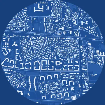 Malešnica
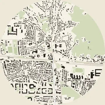 Vrapče
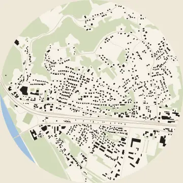 Podsused
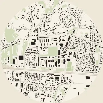 Gajnice
Podsljeme district
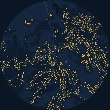 Šestine
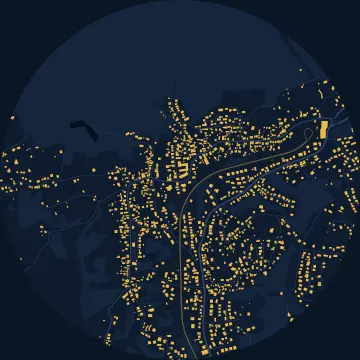 Gračani
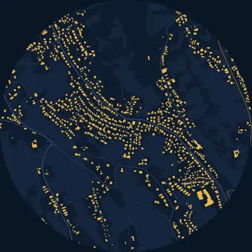 Mlinovi
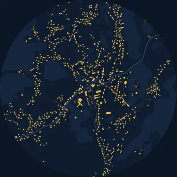 Markuševec
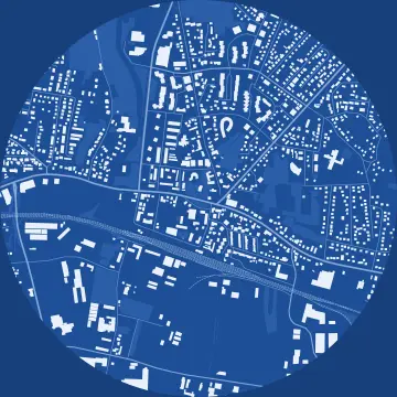 Sesvete
 Jelkovec
Brezovica district
 Brezovica
Share
Questions
- May I print and post the poster?
- Yes, for free: for yourself, as a gift, on a café wall or in a post. The map comes from OpenStreetMap under the ODbL, so the credit “© OpenStreetMap contributors” has to stay on it, and it's already there.
- Why is a building missing or different?
- OpenStreetMap is drawn by volunteers. If a building is missing or wrong, you can fix it on openstreetmap.org; we refresh the maps from time to time. These maps were drawn from data downloaded between 18 Oct 2026 and 25 Oct 2026.
- Where is the neighbourhood's centre?
- The centre is the point OpenStreetMap uses to mark the neighbourhood, or the middle of its local council area where there's no such point. The 900-metre circle doesn't follow the neighbourhood's borders, so its edge often takes in part of the next one.
How we drew the maps
The maps are drawn from OpenStreetMap data downloaded between 18 Oct 2026 and 25 Oct 2026 (© OpenStreetMap contributors, ODbL). They show buildings, named streets and paths, water, parks, pitches, and railway and tram tracks within 900 m of the neighbourhood's centre. A building counts when its first corner lies inside the circle, leaving out sheds and kiosks under 14 m²; the kilometres add up the named streets and paths inside the circle. The posters hold no listing data.
The “Drone” style draws the buildings from the City of Zagreb's 3D model ZG3D 2022 (City of Zagreb, data.gov.hr, last changed 15 April 2026), under the Croatian Open Licence, within 550 m. We adapted the data: each building part is raised to its height from the model, measured from its lowest to its highest point, so buildings on a slope look a little taller than they are; the ground is a flat plate.