Zagreb in numbers · maps
Dugave as a poster
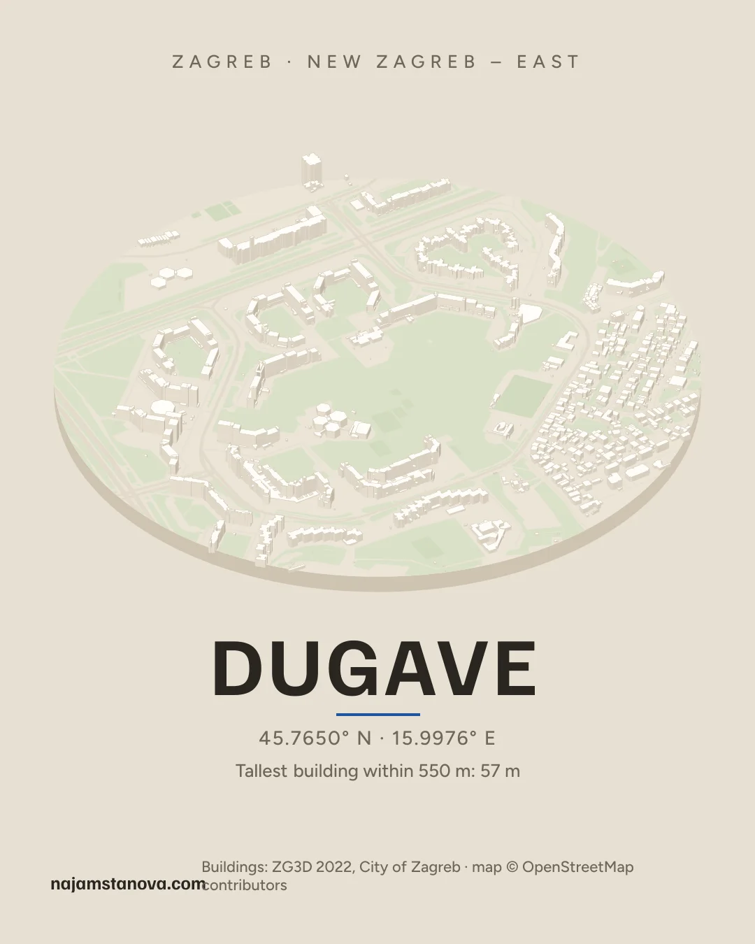
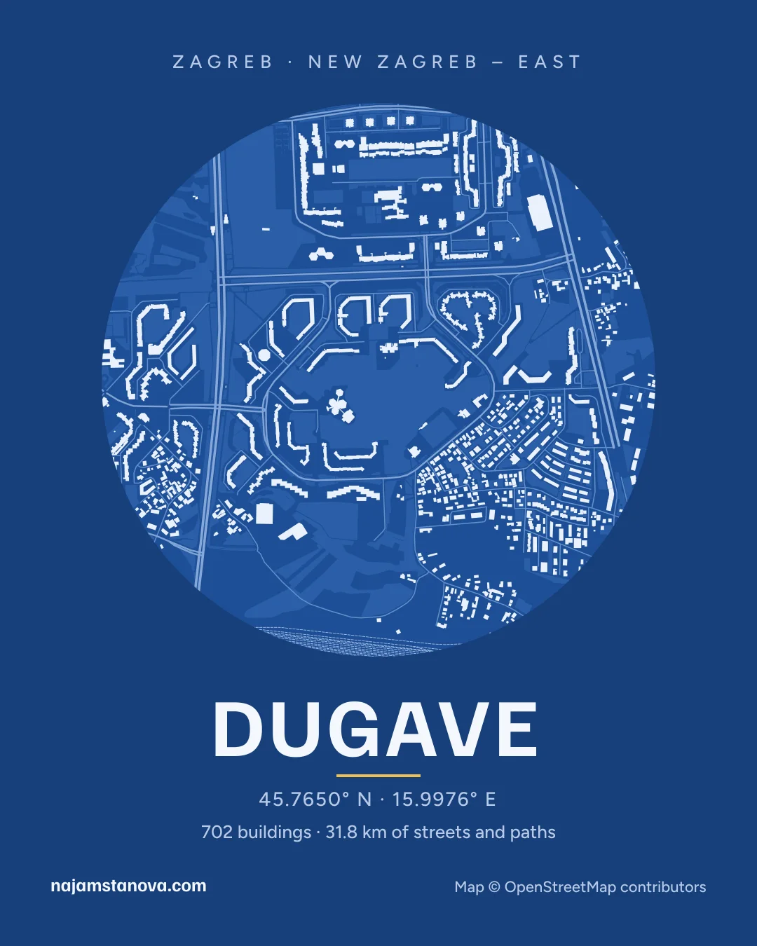
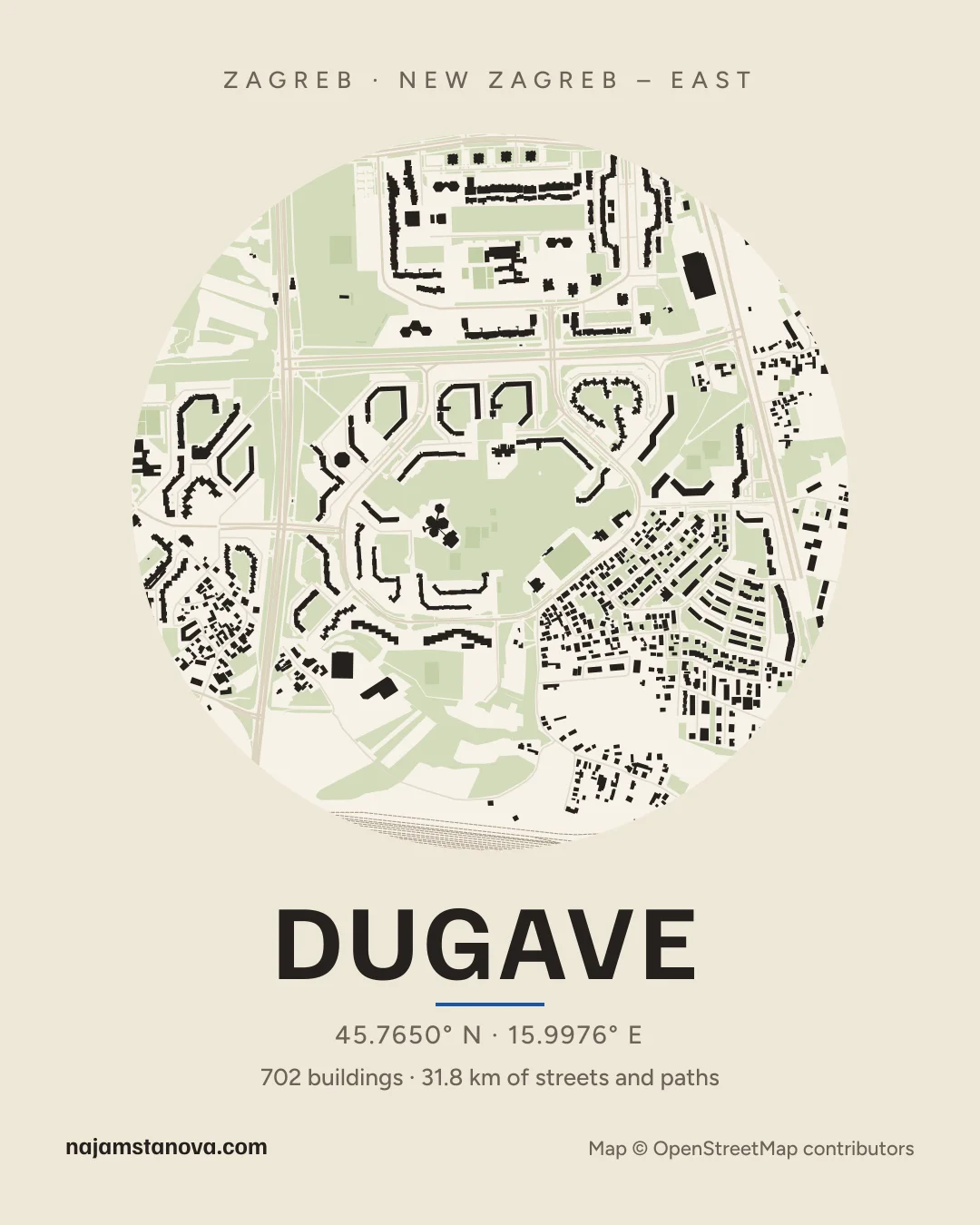
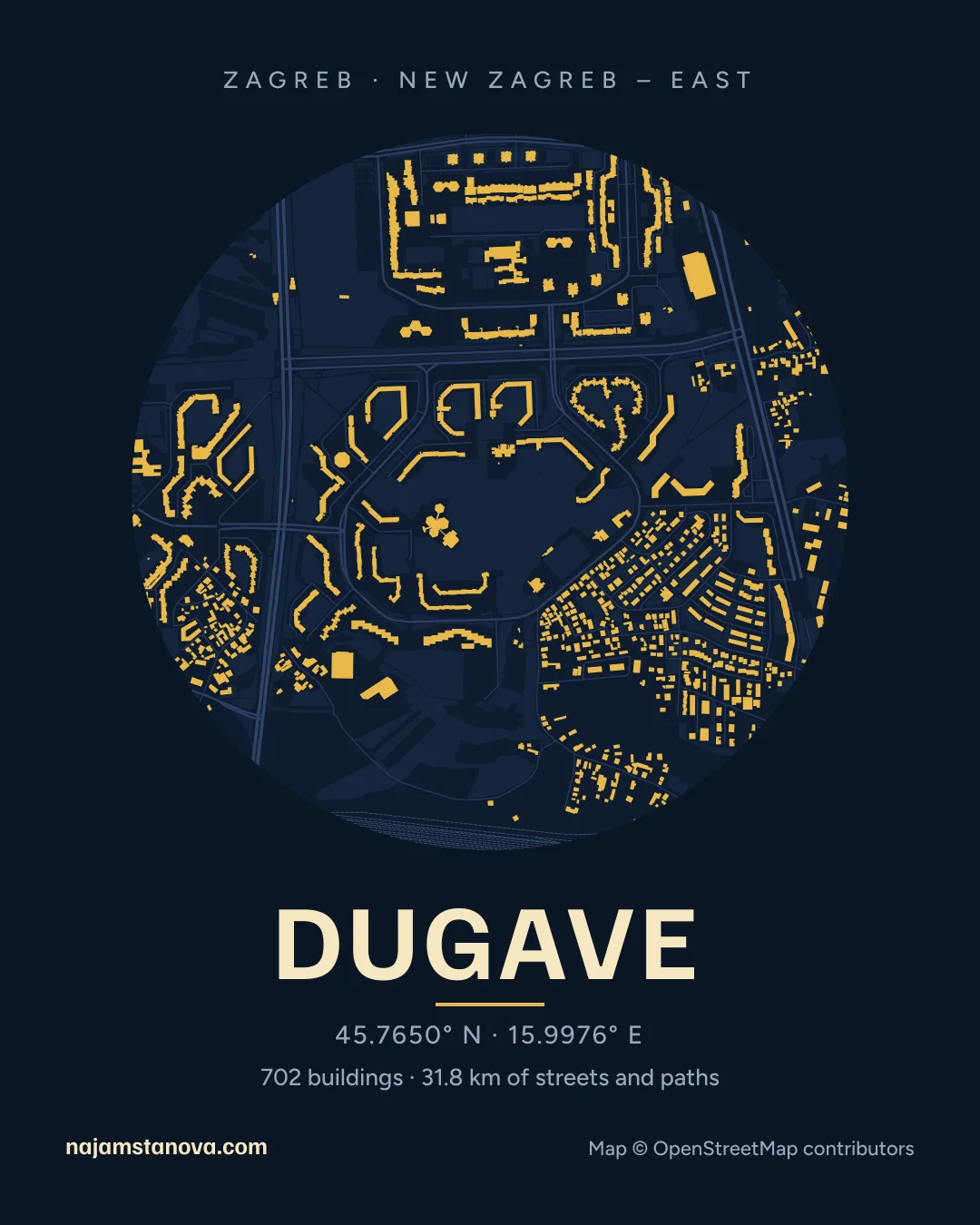
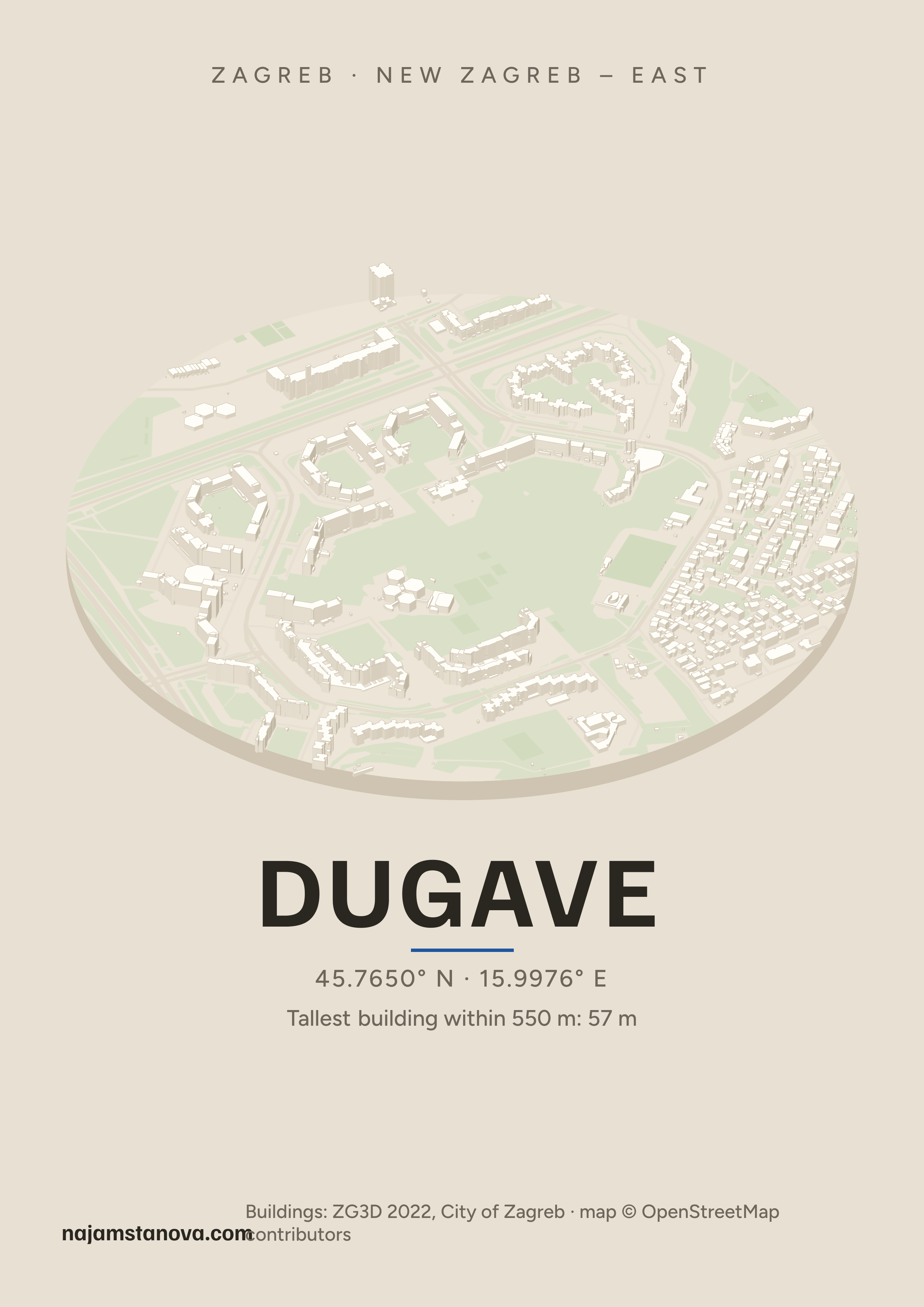
702 buildings and 31.8 km of named streets and paths within 900 metres of the centre of Dugave, drawn from OpenStreetMap. Pick a style, then download an image to post or a poster to print.
PNG, 2480 × 3508, for A3 or smaller
We see 8 rental listings in Dugave right now.
More neighbourhoods in New Zagreb – East
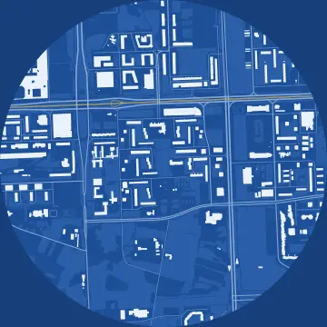 Sopot
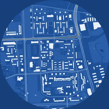 Utrine
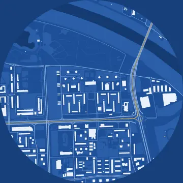 Zapruđe
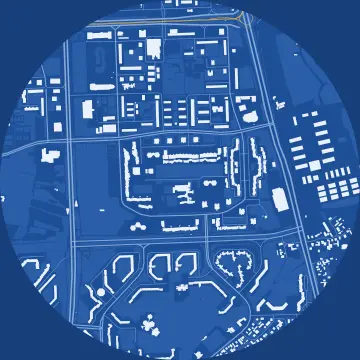 Travno
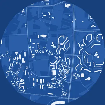 Sloboština
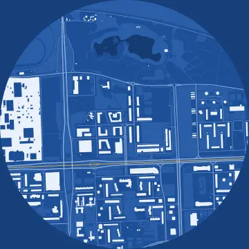 Središće
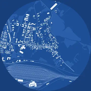 Jakuševec
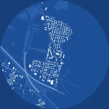 Veliko Polje


Share
Questions
- May I print and post the poster?
- Yes, for free: for yourself, as a gift, on a café wall or in a post. The map comes from OpenStreetMap under the ODbL, so the credit “© OpenStreetMap contributors” has to stay on it, and it's already there.
- Why is a building missing or different?
- OpenStreetMap is drawn by volunteers. If a building is missing or wrong, you can fix it on openstreetmap.org; we refresh the maps from time to time. These maps were drawn from data downloaded between 18 Oct 2026 and 25 Oct 2026.
- Where is the neighbourhood's centre?
- The centre is the point OpenStreetMap uses to mark the neighbourhood, or the middle of its local council area where there's no such point. The 900-metre circle doesn't follow the neighbourhood's borders, so its edge often takes in part of the next one.
- Where do the building heights in the “Drone” style come from?
- From the City of Zagreb's 3D model ZG3D 2022, surveyed from the air and with LiDAR. The tallest building within the Dugave circle is 57 m, measured from its lowest to its highest point.
How we drew the maps
The maps are drawn from OpenStreetMap data downloaded between 18 Oct 2026 and 25 Oct 2026 (© OpenStreetMap contributors, ODbL). They show buildings, named streets and paths, water, parks, pitches, and railway and tram tracks within 900 m of the neighbourhood's centre. A building counts when its first corner lies inside the circle, leaving out sheds and kiosks under 14 m²; the kilometres add up the named streets and paths inside the circle. The posters hold no listing data.
The “Drone” style draws the buildings from the City of Zagreb's 3D model ZG3D 2022 (City of Zagreb, data.gov.hr, last changed 15 April 2026), under the Croatian Open Licence, within 550 m. We adapted the data: each building part is raised to its height from the model, measured from its lowest to its highest point, so buildings on a slope look a little taller than they are; the ground is a flat plate.